Fire Information (for 2025)
Canada fire overview (excellent site) link
Windy.com (link) has a “PM2.5” display (in the “Air Quality” section) that is a good predictor of smoke/visibility. You might have to have a subscription to Windy (highly recommended) to view this page.
BC fire map: link
Alberta fire map: link
Yukon fire map: link
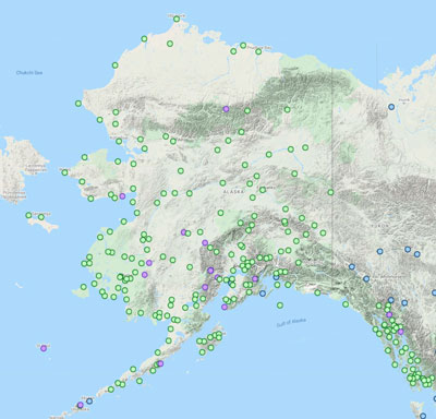
Alaska fire map: link
Another excellent weather cam site (though only for the Western lower-48) is “Alert Wildfire” … link here
General Comments & Sites
Route specific pages have additional weather links. For instance, the “McCarthy Area” has a link to local weather cameras.
Your EFB of course has access to METAR, TAF, MOS and related weather imagery.
The site “windy.com” provides an excellent overview of winds and weather, with the ability to look at a graphical depiction of winds at various altitudes (using a computer, not on a phone/tablet AFAIK), et cetera.
There are numerous NOAA sites (update April–many of their website pages are now gone). MOS information here page here.
The NOAA/NWS Storm Prediction Center has good, detailed, local information. Main NOAA Storm page is here. Drill down by entering city/state info on the top left if desired. For instance, here is local Anchorage data (link)
Canada Aviation Services Weather Guide
Nav Canada overview of available services within Canada for aviation users (56 pages) (link)
Province & Area Weather Overview Guides
Weather of The Canadian Prairies (Alberta Eastward) (link)
Weather of British Columbia (link)
Weather of the Yukon, Northwest Territories and Western Nunavut (link)
Nav Canada “WeatherCAN” mobile App
Receive weather alert notifications in your area, as well as in your saved locations, wherever you are in Canada. Get your latest forecast information directly from Canada’s official weather source. (link)
Canadian Weather & Info
Canadian government weather site. Overview of entire country with drill-down features (link)
Current Conditions & Forecasts by Province (link)
Graphical Area Forecast (GFA) (link)
Nav Canada aviation weather link. This site has a lot of good graphical information. Note: They don’t use all of the available screen space for some reason.
Yukon wildfire information & map: link
BC wildfire information & map: link
Alberta wildfire information & map: link
Flying to Canada, tips from the AOPA (link)
Canadian Weather Webcam Sites
Nav Canada Forecasts and Observations. This is a weather camera site by province (& sites within each province) (link)
Yukon misc weather cams (link) and here
U.S. Weather Sites
NOAA Aviation Weather Center: Good overview page! (link)
Alaska aviation weather unit. Graphical Alaska map by region (link)
Interactive Alaska looping wx (link)
ProFlight of Alaska website. Excellent source with many links to “Observed” and “Forecast” weather sources. Also excellent source for Flight Planning (many links) and Aviation Resources. Link here
FAA Aviation Wx Cams (click on below map). NOTE: map defaults to where the Internet thinks you are “clicking” from. For me, in other words, when I click on the below map, it comes up with cameras in Colorado. There is a “Search” box in the top-left corner. Simply enter “Alaska” and you will be redirected.
Another excellent weather cam site (though only for the Western lower-48) is “Alert Wildfire” … link here
Interestingly, Flight Service Stations in Alaska are still operated by the FAA. They are not contracted out. Good links to FAA services (link)
In that context, the Fairbanks FSS has an excellent weather & resource page (link here)
FAA Alaska weather cameras https://weathercams.faa.gov/. Note: This link seems to work better in the Chrome browser than in Microsoft Edge.
Additional Alaska cams not in the above list (link)
Other Alaska (and every state) cams link
Copper Valley SE Alaska cams (see “Sites” dropdown) link
A few other FAA cam & misc links (link)
Alaska wildfire smoke information pages (Alaska Div of Air Quality link); Univ of Alaska Wildfire smoke prediction: (link here); Alaska BLM wildfire info: (link here); Alaska “Wildfire Dashboard” (link here); Canadian Wildland Fire Information Center: (link here)
Windy–Great web-based interactive weather & winds (link) Another feature within Windy is to select the “Menu” symbol, then scroll down the page and, toward the bottom-right, select “Webcams”
Tide Predictions: Alaska (helpful for float ops & selected beach landing sites) (link)
Experimental Alaska Aviation Guidance. An experimental weather site showing forecasts off of AWOS or ASOS data. (link)
Additional Weather Sites
Weather Flying (5th edition) by Robert Buck (link to Amazon purchase)
Aviation Weather Handbook (free from FAA — link)
NOAA: A Pilot’s Guide To Aviation Weather Services (free: link)
Text 358782 to get instantaneous METAR or TAF for any US airport. For example, type “METAR PDX” or “TAF PDX” and it will give you the current METAR/TAF. It’s faster than Foreflight. Watch out for autocorrect. (Free)